Browns Peak
04/14/2004
04/14/2004
04/14/2004
Four Peaks is part of the Mazatzal Mountain Range, and the road to them is only about 15 miles from our house.
Our goal today is to hike to Brown's Peak, the highest of the 4 peaks. It's a 2 hour drive along a dusty jeep trail to the trailhead, but the scenery is worth the ride.
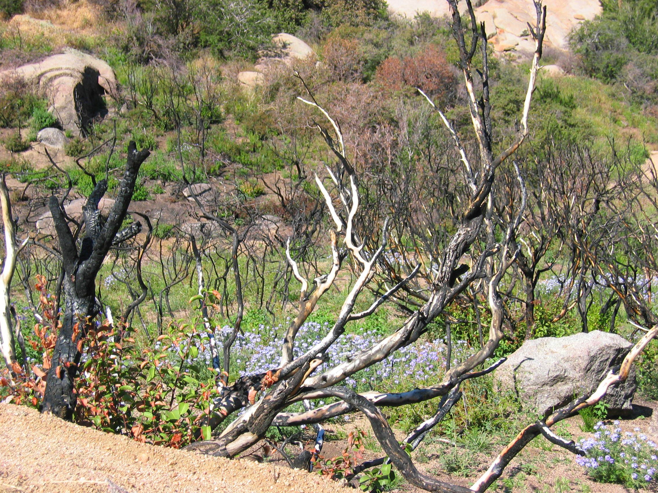
The trail is about 5 miles round trip, and has a 1,960 foot elevation. There was a fire that swept through here around 1986, and the scars still remain. But nature is resilient and the plants have started returning.
Artsy shot of burned off limbs

Brown's Peak

Cactus in bloom
Desert Flowers

Flowers among burned trees


Sharon standing behind the dirty truck
.JPG "Four Peaks - our goal for today")
Four Peaks - our goal for today

This is the view from the jeep road

There always has to be a shot of the truck on the trail

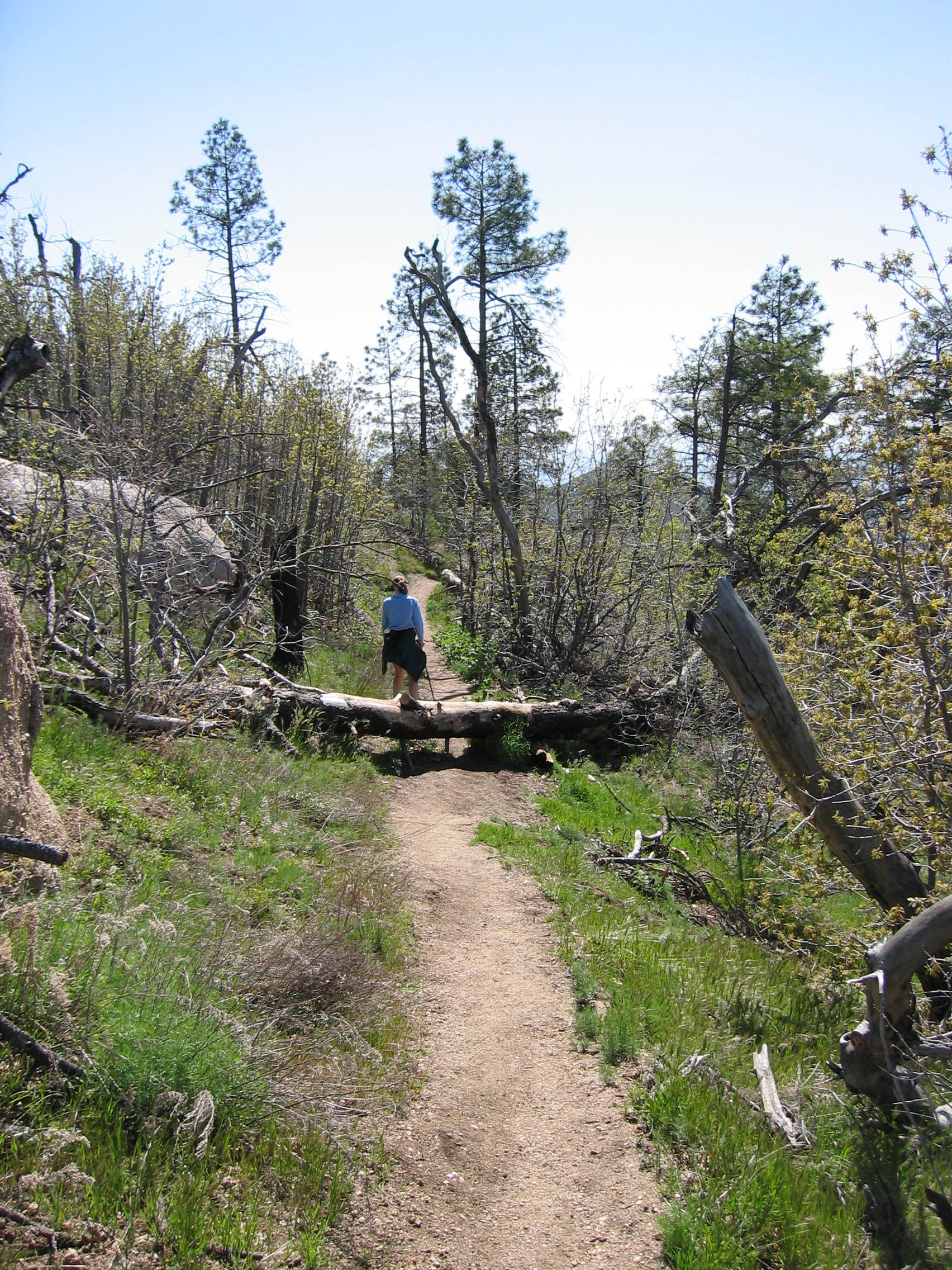
This is the trail we were on
George holding up interesting rocks

George near the top. Back a little more, back a little more......

We're near the top and that little white spot is a hiker on the trail


A shot of the jeep road to the peaks
Roosevelt Lake as seen from the trail

Very cool tree with burned out center

OK, so it's another shot of the burned center


Sharon resting just below the peak.

Here is where we were heading - the gap almost at the top

Here's what it looks like from the peak

Another magnificant view from the peak